top of page

Create Your First Project
Start adding your projects to your portfolio. Click on "Manage Projects" to get started


Topographic & Volumetric Surveys
Link
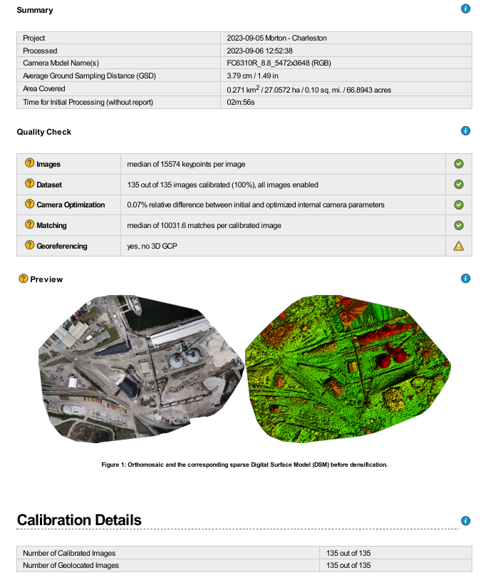
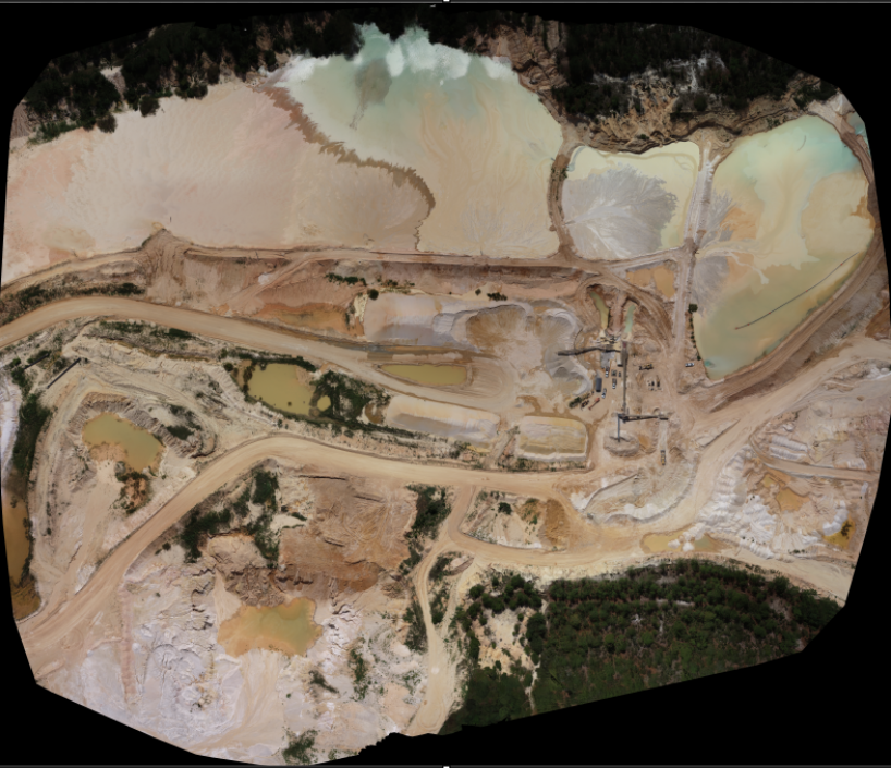
Survey-grade topographic mapping and volumetric analysis for industrial sites, mining operations, and earthwork contractors. Utilizing RTK GNSS and high-precision photogrammetry, we deliver highly accurate cut/fill calculations, stockpile inventory reporting, and dense 3D terrain models






bottom of page